CAD-Earth alternatives
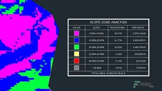
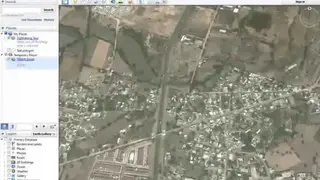
CAD-Earth is resourceful software that allows architecture to perform slope zone analysis and facilitates a wide range of alluring features. This utility is making it easy for you to export and import images, objects and more importantly, it will be eased in-ground meshes between Google Earth and AutoCAD. Moreover, you have the ability to export your 3D CAD models directly to Google Earth.
The program comes with an intuitive and user-friendly interface that provides you easy navigation support and is supporting versions like AutoCAD and BricsCAD. Get the ultimate leverage of the easy-to-use commands that can easily pick from the command prompt, CAD-Earth command, or from the screen menu. It has been really easier for you to update design objects because when you are modifying the respected contour lines, the object’s sections and profiles are automatically adjusted.
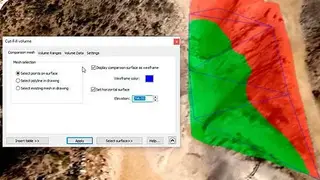
There are multiple features on offer that include free technical support, accurate image placement, Insert georeferenced images, profile viewer, terrain mesh explorer, export terrain mesh, flexible georeferencing, floating license, create animation videos, cut-fill volume calculations, and more to add.