FuseGIS alternatives
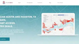
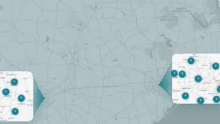
FuseGIS is a collective platform for real state data management that provides reliable statics or information of property of different places. Brokers or landowners can easily access the information for making better experiences in new areas as a complete analysis or real-time insights. It is embedded with a google map that facilitates users having depth overview of the location and desired place, rates, worth of the house, and other luxurious specialties.
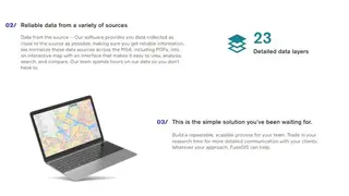
It provides software that compiles the complete information of commercial zones, or any far any building that needs to compare with standard data with other properties for reasonable dealings. All the basic statics can be illustrated via software, such as affordable houses list, cases or permits, floodplain & water, jurisdiction, location, city limits, county, Independent school district, zip code, opportunity zone, zoning, transportation, and tax parcels, etc. Following are the key features of FuseGIS: provide enhanced lists, affordable access, stress reduction by saving time, easy-to-use interface, and searching by property ID or simple tracking.