GovClarity alternatives
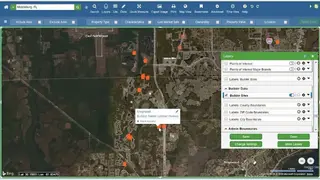
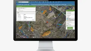
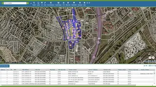
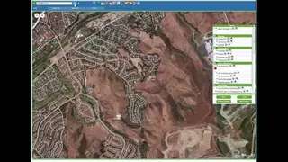
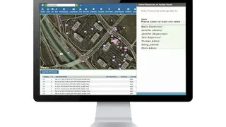
GovClarity is a web-based data integration and government data mapping platform designed to deliver data access, analysis, and maintenance of location data. The software is tailored specifically for state and local government agencies. It delivers tools such as interactive maps, notification creation, zoning customization, asset inspection management, etc., to help with public works, planning and disaster management, risk analysis, and other government tasks. To help with the access and analysis of location data, the software provides geographic maps to provide a reference point for state and local government data.
Like all the other leading platforms, its mapping and data visualization are also embedded in daily tasks to aid with the understanding of data and decisions making. Government officials can use this software to create zones within their map visualization, create alerts, share community details with citizens, collect issue reports and feedback from residents, and manage asset inspections. GovClarity offers online interactive maps that can be added to websites to publish details and enable constituents to engage with their government officials by providing feedback. Data analysis, government mapping, heatmap, API, database integration, permission management, collaboration tools, remote access, and role-based permissions are also features of this data integration.