Mapillary alternatives
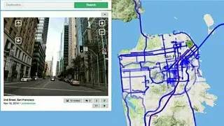
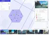
Mapillary is the provider of street-level imagery for the future of maps. It is offering images from anyone with a camera, combined to generate map data. You can also take part in the services it is offering to build better maps with collaboration and computer vision.
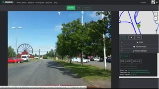
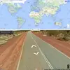
If you want to take part in the services being offered by this website, then simply capture the street-level images anywhere with a camera-enabled device and upload it to this platform with some description of the image. It offers the necessary tools and allows the users to visualize them on the map.
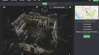
It is even more worthy if you capture the story behind any location in images and maps. You are also allowed to share your story with 3D street-level imagery integrated with your website, blog, or application as well. Start using Mapillary and get the view from the ground to enhance maps and geospatial datasets.