Ocad alternatives
Ocad is a powerful Swiss software application that is intended for cartography and orienteering. It leverages users with creating maps like topographic, city, and orienteering maps. Ocad can use as a desktop application with a map or image as a background. Through the topographic editor, canvas, one may create topographic maps of any part of the world. These maps can then be printed out or saved in numerous supported formats, such as the standard Adobe PDF format and many others.
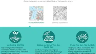
In order to draw maps in Ocad, you need only a mouse and the ability to click. The software is intuitive; practically everyone can draw maps with it quickly. The software is successfully serving cities, surveying offices, universities, and orienteering clubs. It comes with map capturing features like laser range finder, GPS, Lidar data, and digital elevation analysis models.
It comes with great drawing, generalization, and editing tools to produce maps according to demand, and you have the ability to assign your own data to the created map symbols. The other features are complete overview, visualize statistical data, multiple representations, print, and export support, use existing GEO data, and more to add.