RoboGEO alternatives
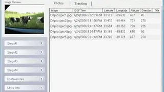
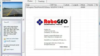
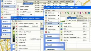
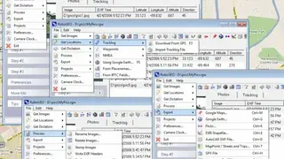
RoboGEO is the fastest-growing software that allows you to easily add locations to your digital photos. The solution allows you to add data like latitude, longitude, altitude, and photo directions by using a range of tools. With the help of this solution, you can also be able to add watermarks or write the geolocations to the EXIF or IPTC headers. There is also an option to export the georeferenced photos to Google Maps, MapPoint, and all the other similar platforms.
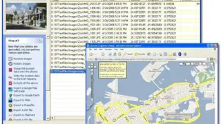
It is a comprehensive solution that comes with almost all the core services and features to quickly add images with geocodes. RoboGEO also comes with a batch feature that allows you to add hundreds of images at the same time. One of the most interesting facts about this solution is that it allows you to create Google Map web pages with icons that show where your every image was taken.