Home Auto & Vehicle Maps & Navigation Tool

ERDAS IMAGINE alternatives
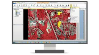
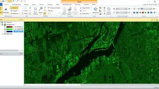
ERDAS IMAGINE is the leading Sensing Software Package liked by many people across the globe. It offers a data authoring system and supplies tools that help you meet Geospatial Analysis, Remote Sensing, and Photogrammetry requirements. The solution is a perfect fit for geographic imaging professionals who have to run bulk geospatial data each day, and for this reason, they end using software that is not made for these tasks, resulting in the creations of many problems.
By using ERDAS IMAGINE, these professionals can save effort, time, and money by taking advantage of available data investments and enhancing their image analysis functionalities. The tool delivers great value and unifies radar processing, remote sensing, basic vector analysis, photogrammetry, and LiDAR analysis in one place.
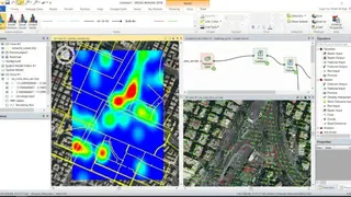
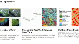
The solution has powerful data processing functions and algorithms that allow you to focus on analysis without worrying about anything else. It adds ease when working with crucial tasks like image interpretation, image classification, elevation extraction, orthorectification, reprojection, and segmentation. Apart from these characteristics, there are a few more features offered by ERDAS IMAGINE, such as Point Cloud Processing and Power of Spatial Modeler.