SuperGIS alternatives
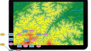
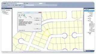
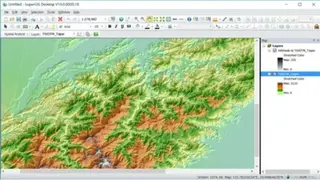
SuperGIS is a multi-featured GIS solution compatible with the Microsoft Windows Operating System and developed by Supergeo Technologies to serve various industries such as Hydrology, Transportation, Topography, Urban Planning, Ecology, and Real Estate. It gives you the tools to modify, visualize, and run analysis on raster as well as geospatial data.
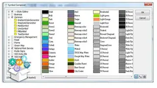
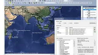
The features include Spatial Analysis, 3D Imaging, Image Management, Map Sharing, Labeling, and Map Creation. You can enhance the functionalities by making use of multiple extensions like Biodiversity Analyst, Network Analyst, Spatial Analyst, 3D Analyst, and more. The customers are given the option to get a complete geospatial solution by merging Server and Mobile GIS, both of whom have a reasonable pricing model.