Home Maps & Navigation Online Services

GeoReferencer alternatives
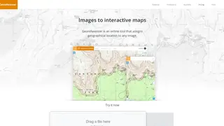
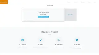
GeoReferencer is a web app that makes it easy for you to assign a geographical location to the uploaded image. You will find it really easy to use as it only asks you to drag an image file or browse one from the computer. Once the image has been uploaded, you can find similar points and add coordinates. The third step is previewing the image and interacting with it in various ways like overlaying, comparing, and annotating.
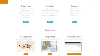
The final stage consists of downloading GeoTiff, and utilizing desktop GIS through WMTS or embedding online. The online solution caters to the needs of Businesses, Private users, and Institutions. Private users can convert any image into map overlay, compare, export, get accurate geolocations, and access advanced features. Businesses can leverage authenticated access, perform private batch exports, retrieve analytics for workers, and initiate quality assurance.