PetersMap alternatives
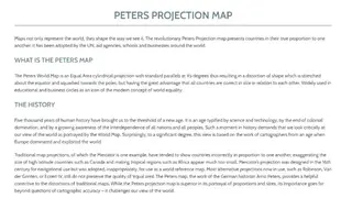
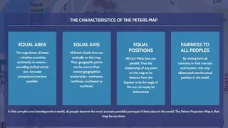
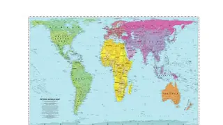
PetersMap is a top-notch map projection that shows countries in accurate proportion next to each other. It is used by businesses, schools, the UN, and aid agencies worldwide. It functions as an equal area cylindrical projection having 45 degrees of standard parallels, leading to the output of shape distortion, which is flexed about the equator and taken to the poles. The benefit is that each and every country is of the right size and is associated with each other. It is prominently used in business and academic areas as the standard for equality in the world.