Home Maps & Navigation Travel & Location

PeakVisor alternatives
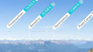
PeakVisor is an application that enables you to navigate mountain peaks with state-of-the-art 3D maps and mountain identification on the screen of your cellphone. It is a magical application that instantly identifies the name of any mountain that comes in the view of your phone camera. In the palm of your hand, it provides precise 3D mountain panoramas. In real-time, you can identify epic summits or snap a photo and share the peaks with your friends upon labeling.
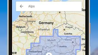
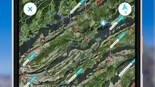
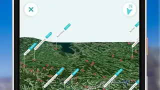
You can easily understand where the route will take you by visualizing the hiking trails in realistic 3D maps. If you are running out of internet data, everything can be easily downloaded and accessed from anywhere in the world that you need for your next journey. All over the world, the application covers all the major and minor mountain ranges from the remote regions of Alaska to the high alpine summits of Switzerland. Every day more mountain ranges and peaks are being added to this platform making it easier for hikers to teleport their favorite places across the globe.