Topo Maps+ alternatives
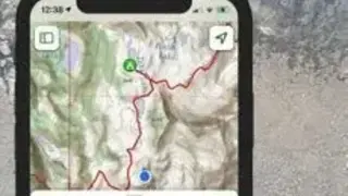
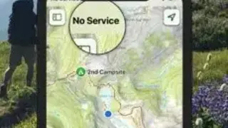
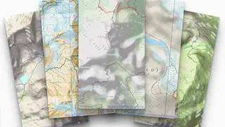
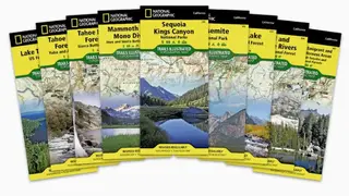
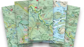
Topo Maps+ is an application that is designed for long journey hikers to plan their route and go deep into the backcountry no matter whatever distance they are away from a cellphone signal. The application helps hikers to achieve their dreamed place and helps them to reach home safely and securely without diverting from their route. The application contains National Geographic trails illustrated maps which are the most famous and most trusted recreation maps available only to this platform. It also contains USGS topo maps and worldwide topo maps which are the gold standard for backcountry maps in the US.
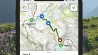
The application contains data about more than five hundred thousand trails over the backcountry. To see elevation profiles and distances, just tap on the trail you want to visit. The trails also interact with the application traced routes that enables you to perform hiking without exactly following the trail route.