PhoneMaps alternatives
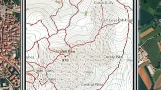
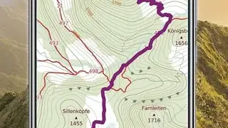
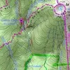
PhoneMaps lets you access a large number of cycling and hiking maps of most of Europe. The maps have a complete network of cycling and hiking routes, and you can Zoom In/Zoom Out for better clarity. Plan a holiday, log your tracks, and share all the activities with friends through any social media platform. Traditional maps do not offer marked hiking and cycling routes, but this is not the case with PhoneMaps as it shows all of them to enable a better experience.
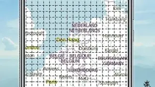
It is a multilingual app with support for Chinese, English, Portuguese, German, Slovenian, Czech, Dutch, Polish, and Italian. It is possible to view and download maps in any of the supported languages. The maps have been created by expert cartographic companies SHOCart, and Freytag&berndt to ensure high accuracy.
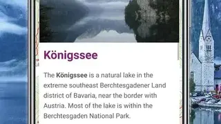
Hiking and travel guides have been designed with the assistance of Freytag&berndt and Bergverlag Rother. The Vector maps are small in size, but you can zoom in or zoom out for better visualization and rotate areas to check from all angles. Maps show detailed information like the timetable, address, email, Website, and more. You can check your current position, view statistics, find optimal routes, and more.