12d Model alternatives
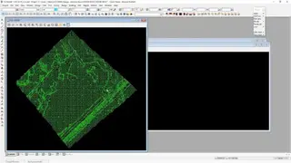
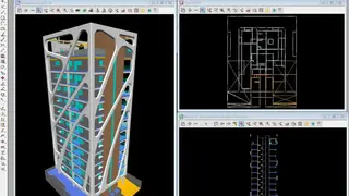
12d Model is an integrated and affordable package, ideal for surveying, planning, site development, and construction. The intuitive interface makes 12d Model easy to use, whilst advanced features allow experienced surveyors and planners to get the most from their data. The full-featured survey module allows the creation of location models from a range of sources, including GPS and Total Stations.
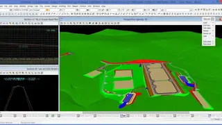
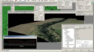
You can achieve results faster by processing multiple waypoints in batch mode. Full integration with all forms of CAD/CAM packages allows complex models to be easily generated. 12d Model is the only software package that includes visualization of surface models both in 2D and 3D, ideal for photorealistic visualization of both site development plans and topographic maps and contour lines.
Contour lines can be imported directly at a high resolution from popular surveying software packages. Other highlighting features include height measurements from multiple points, profile drawing of terrain surfaces, surface modeling by means of points, profile lines, 3D objects, the 3D triangle mesh, semantic data, and arbitrary objects.