Home Development Photos & Graphics Tool

HighRoad alternatives
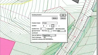
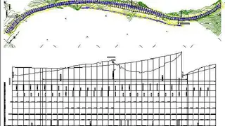
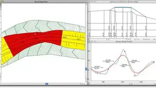
HighRoad is a CAD application for developing geometric designs of roads, highways, and terrains. The tool is composed of two programs: an interactive geometry editor and a geometric compiler. It provides a powerful 3-D environment in which shapes defined by user-defined points can be dynamically transformed, displayed in perspective, and analyzed in detail.
Its comprehensive set of tools includes geometric design features such as horizontal and vertical curves, lifts, drops, tangents between curves, offsets, retaining walls, and earth structures. HighRoad is a complete solution in terms of geometry definition and analysis capabilities. Moreover, you can import geometries from various CAD formats; AutoCAD, Microstation, and other formats.
Highlighting features include powerful geometric modeling commands, Powerful array processing commands, Graphic displays of the shape, centerline, and areas of the highway geometry, Graphic displays of the relationships between the geometric attributes, Interactive facilities for editing the geometry and attribute data, Interactive facilities for 3-D viewing and zooming, Flexible output facilities including standard plotters, x/y plotters, and HPGL plotters, and Flexible input facilities including line and arc files, FMS geometry files, DOT coordinates, and comments from FMS files.