CartoDruid alternatives
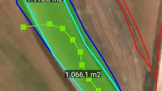
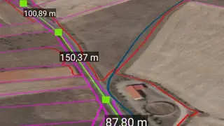
CartoDruid app provides features through which users can edit information about georeferencing without much of a stretch. You can also drop points on the map in a straight line to measure the distance in meters. Users can export the map data to use it later and can import it with a single tap.
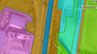
CartoDruid – GIS offline tool app offers features that let you create new layers of maps according to your needs as well as you can also configure existing vertical layers to determine the accurate geometrics on the basis of attributes.
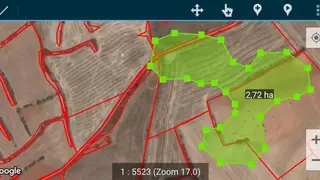
CartoDruid app allows users to add a large number of points on the map to measure area and distance in hectors or acres units. You can tap on the plus button to zoom in to the map or can tap on the minus button to zoom out, and it shows the current zoom level on the bottom.