SW Maps alternatives
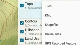
SW Maps app enables users to record points, lines, polygons, and images to view them on the desired type of map. You can also attach new images, videos, audio clips, and other data to the map. It allows users to save layers as templates to use them again as new layers or can share them with other users to help them.
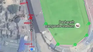
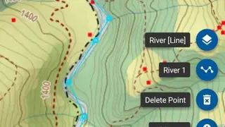
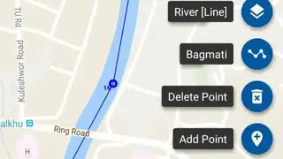
SW Maps – GIS & Data Collector app comes up with features to help users in adding new points to the map in order to measure the distance as well as the area. SW Maps app offers features that let you select or deselect the options to view recent tracks and images on the route. Users can tap on the plus button to add new points such as the river line, and Bagmati or can choose the option to delete all the existing points.