Mapit GIS alternatives
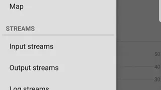
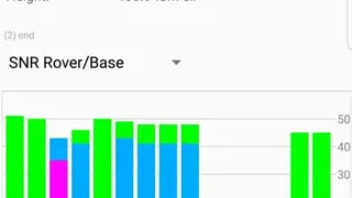
Mapit GIS app allows users to process all the GPS data from GNSS receivers to mobile phones. You can change the type of output stream, format, and stream settings. The input stream section contains buttons to enable users to access the input rover, input base, and correction sections. Mapit GIS – NTRIP Client app comes up with a straightforward interface that contains a side panel through which users can access the server’s status, map, input streams, data processing options, log streams, output streams, and solution options.
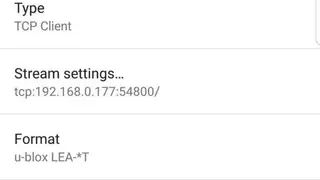
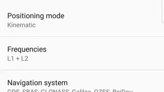
You can change the configuration of the input rover by selecting the type, stream settings, format, antenna, and receiver options. Mapit GIS app provides features through which users can access the processing settings section to change the positioning mode, output header frequencies, navigation system, resolution settings, etc. You can select the option to exclude the measurements of all the eclipsing satellites.