Home Development Maps & Navigation

GeoServer alternatives
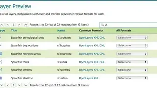
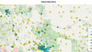
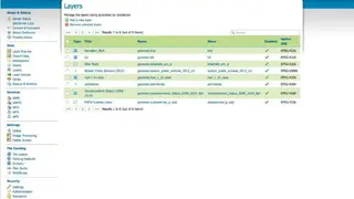
GeoServer is a java-based mapping software that enables users to edit geospatial data and view it. The platform is designed for interoperability and can publish data from any spatial data sources such as REST, WFS, WMS, etc. It also offers services to those users who want to create highly detailed maps, and users can create maps in various output formats.
The platform is based on the standards set by OGC, which encourages the development of open standards for GIS data processing and sharing. Users can also use various formats while using GeoServer, such as PostGIS, Spatial, MongoDB, etc. Moreover, it comes with a free mapping library, which makes map generation intuitive and fast.
The open-source characteristics of the software allow any user to access the maps created by other developers. Furthermore, the platform is developed, tested, and supported as a community-driven project by individuals and is free of cost.