Google Earth alternatives
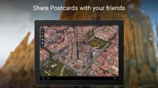
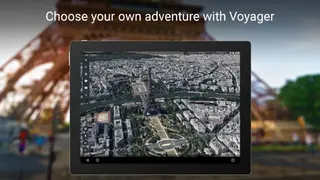
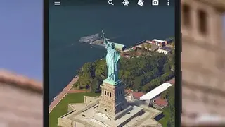
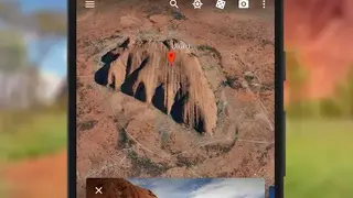
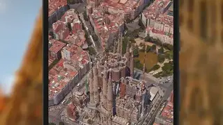
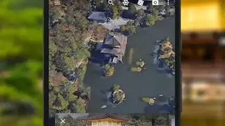
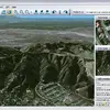
Google Earth is a computer, mobile, and web-based application that renders a 3D representation of Earth based on Satellite Imagery. It maps the earth by superimposing satellite images, aerial photography, and GIS data on the 3D global that allows users to see cities and landscapes from multiple angles.
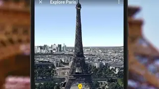
With this service, you can easily explore the worldwide by simply entering addresses and coordinates or using your mouse or keyboard. After finding your place, you zoom in, then dive in for 360 perspectives with street view.
You can also use it to add their data using Keyhole Markup Language and upload them through several sources such as forums, blogs, etc. There is also an option that allows you to watch different kinds of images overlaid on the earth’s surface and is also a web map service client.
Google Earth also includes core features such as measuring distance and area, 360 views, explore on any devices, easy to understand, and much more. Google Earth also offers a Pro version that unlocks some new tools and features.