Home Online Services Travel & Location

QGIS alternatives
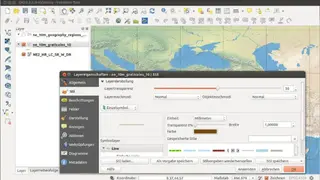
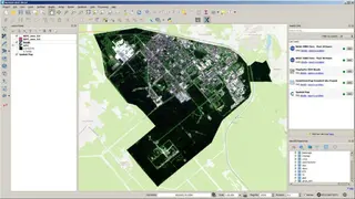
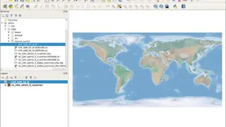
QGIS is a platform used for viewing, analyzing, and editing geospatial data. You can use this software for free. By using it, you can handle various functionalities and formats of the databases. By using QGIS, you can use raster data and overlay vectors and view the data in various formats. This platform also features the operations of editing, creating, managing, and exporting vectors, raster layers, and data in many formats.
QGIS can be used on multiple operating systems, including Windows, Mac, Unix, Android, and Linux. This software is not only available in the desktop version, but you can also run it on the servers, websites, and multiple fast working browsers. QGIS is free to use. It is very straightforward to use this platform because of the simple user interface. You can also explore data and compose maps through this platform. You can use the extensible plugin libraries and architectures to leverage the software according to your requirements.