GIS Surveyor Land Survey and GIS Data Collector alternatives
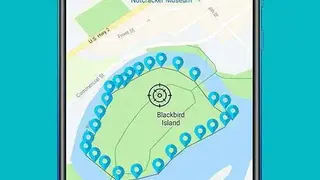
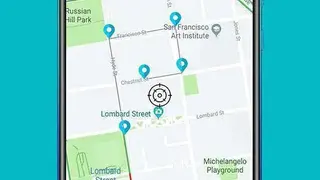
GIS Surveyor Land Survey and GIS Data Collector app enable users to collect data, manage data of surveys, analyze data of surveys, and plan new surveys. You can obtain accurate data in a short period of time by conducting surveys.
The app offers features that let you conduct surveys using photos as well as you can export images to get more accurate data. It allows users to start a new survey by selecting the height of the antenna, optometric height, by checking for a duplicate name, and by exporting GPS information, etc.
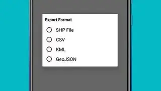
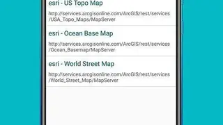
GIS Surveyor Land Survey and GIS Data Collector app comes up with features to help users in exporting data in various formats, and they can backup data of surveys in a cloud server to access it later. You can change zoom controls, can change language, and can select the desired map style from a number of different styles.