Visitor Map Map of Forest Service lands alternatives
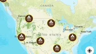
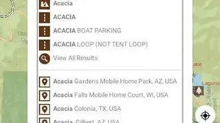
Visitor Map – Map of Forest Service lands app allows users to explore their outdoors in order to find the perfect spot according to their needs. You can enter a name or a keyword on the search bar to search for a location, and it shows all names of parks, roads, and locations.
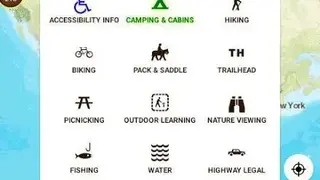
The app comes up with features to help you in exploring sites on the basis of camping, hiking, biking, saddling, trailing, fishing, nature viewing, dirt biking, off-roading, and picnicking. You can download maps and can access the downloaded section to view them.
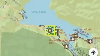
Visitor Map – Map of Forest Service lands app provides features through which you can view the map in various layers. The tools section shows your base map, map legends, and access the offline map section. You can share maps with friends and family members as well as can also create a geo PDF.