Mobile Topographer GIS alternatives
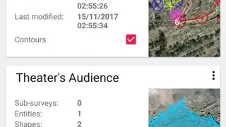
Mobile Topographer GIS app offers features that let you complete surveys without any limitations of the volume of data. It allows users to calculate accurate orthometric height while on the fly using the EGM model as well as using various local elevation grids. You can view all surveys with the number of entities, shapes, points, and date of creation.
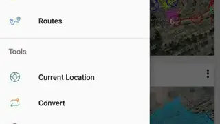
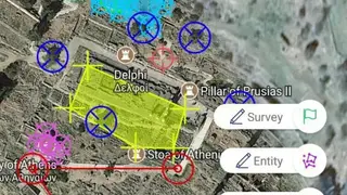
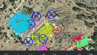
The app provides features through which you can use the drive me feature to find a marked point on the map in the real world. Users can also access surveys, 3D terrain, routes, drive me, satellite map, augmented reality, and weather section, etc.
Mobile Topographer GIS app comes up with features to help users to import and export their data so they can exchange their projects between all their smart devices. You can also view a complete 3D model and can also store a new route with its entire data.