Zoom Earth alternatives
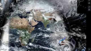
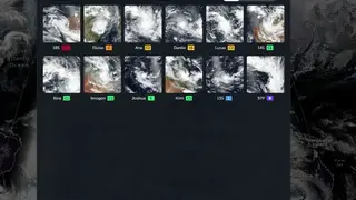
Zoom Earth is the free to use platform that allows you to view live satellite images to check the weather, rain radar, track storms, and much more. You have a picture-perfect high-resolution display, and you can zoom the map in real-time view. There is also a possibility to explore the recent images of storms, wildfires, property, and more. After every 10 minutes, the map is updated, and imagery is provided by NASA’s geostationary satellite.
There is no complication on the usage, and you can find out your area with ease and also set the time and date to see the relevant results. There are multiple features on offer that are live view, anywhere support, map labels, storm tracks, day-night time, multiple timing settings, zoom to center, measure area and distance, and more to add.