Home Photography Photos & Graphics
Pix4Dmapper alternatives
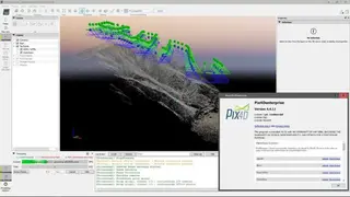
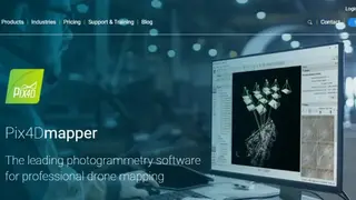
Pix4Dmapper is a leading photogrammetry software that is used for professional drone mapping purposes. The platform capture the RGB, thermal and multispectral images with any camera, and users can use it to digitize the images in digital maps and 3D models with it. Moreover, it enables users to process projects with the software on the online process.
The platform offers control to users to assess, control, and improve the quality of their projects. It enables users to use quality reports to examine the generated results, details, and other quality indicators in the project. Users can accurately measure distances, areas, and volumes. Pix4Dmapper enables users to collaborate in the projects with the streamline project communication and teamwork.
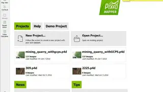
Pix4Dmapper allows users to share project data and insights with the team selectively, and users can use standard file formats. Moreover, it offers survey-grade results to the users to help them get things easily and clearly. Lastly, users can use the default templates to process their projects, and they can change the settings accordingly.