Home Photography Photos & Graphics

Autodesk ReCap alternatives
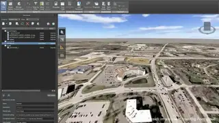
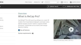
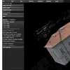
Autodesk ReCap is a scanning software that helps users to create 3D models from imported photographs and laser scans. The platform offers a reality capture software for accurate, survey-grade 3D models, and users can process drone photography to create 3D representations of current site conditions, objects, and much more. Moreover, it provides project navigation features through which users can view an overhead map view side-by-side.
The platform allows users to set coordinates and orientation to set the XY axis for the user coordinate system in the overhead view. Furthermore, users can use high-precision GPS technology to avoid costly prep work in setting ground control points and getting survey-grade accuracy. It enables users to generate high-resolution orthoimages for large and small sites.
Autodesk ReCap helps in faster processing of images that have been imprinted, and users can get a more accurate User Coordinate System setting and can better values. Lastly, users can measure and edit point clouds, create videos to showcase their work, and scan the project during the project creation process.