Home Maps & Navigation Photos & Graphics
Maps Made Easy alternatives
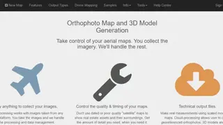
Maps Made Easy is a software that has made it easy for users when it comes to aerial map processing and hosting functionality. The platform allows users to make their own Orthophoto maps and 3D models without any branding, and it comes with no resolution limits. Moreover, it also enables users to get a new perspective, and they can make great maps which they can control with high-resolution imagery.
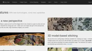
The platform comes with the most cutting-edge technology that helps users create 3D model maps through which they derive accurate orthophoto maps. Moreover, georeferencing helps users align images to known points on the ground, and users can accurately reference their map and overlay in many GIS systems.
Maps Made Easy comes with a stockpile volume measurement system that allows users to take measurements with ease from size, dimensions, and height, and they can track the volume of stockpiles. Furthermore, it comes with a mobile app that allows users to view everything from their iOS app and easily plan surveys through it.