Home Maps & Navigation Photos & Graphics
Sputnik Web alternatives
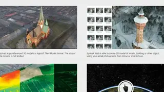
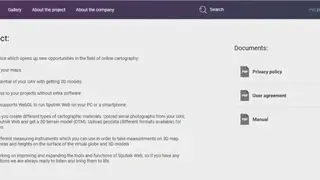
Sputnik Web is a platform that offers services to users in the field of online cartography. The platform helps create and publish maps unless the full potential of UAV with getting 3D models and provides users access to the projects without extra software. It enables users to create different types of cartographic materials, and they can upload aerial photographs from UAV.
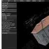
The platform comes with a different and more refined measuring instrument through which users can take measurements on a 3D map. Users can measure the distance, areas, and height on the surface of the virtual globe and 3D models. Users can upload one or several GEO TIFF images as a georeferenced orthophoto, and they can overcome the issue of single GeoTIFF.
Sputnik Web allows users to mark a point on the map, and they link it with an outside resource, which will be shown on the same page. Moreover, users can take a picture of any building and create a 3D model after taking measurements of its size and area.