Home Development Photos & Graphics

MicMac alternatives
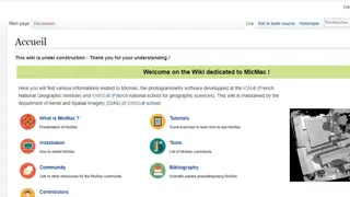
MicMac is a photogrammetry software that allows users to take photos of different places, and they can then view them from all angles through the software. The platform helps users stay helpful in geographic studies and other such aspects as it allows users to view the area a location from every aspect. Moreover, the platform comes with versatile features, such as cartography, environment, forestry, heritage, and much more.
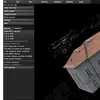
The software enables users to get a digitized picture of any building, monument, or area through it from any angle, and they can then study its architecture. Moreover, users can also perform 3D modelization on the areas and building to better understand it.
The software is suitable for every type of object, and they can easily take the picture and each and every detail of it with a few clicks. MicMac is an open-source project, which means developers can work on it to modify it according to their use. Lastly, it is developed at IGN and ENSG institutes with the purpose of the study the land and buildings.