Home Development Maps & Navigation Photos & Graphics

Skycatch alternatives
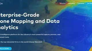
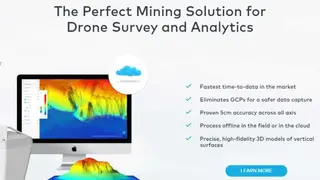
Skycatch is an enterprise-grade drone mapping and data analytics software that provides aerial intelligence to users. The platform comes with capture, process, and measurement tools and enables users to visualize their mapping and images with ease. Moreover, it also offers one of the fastest time-to-data in the market and eliminates GCPs for safer data capture.
The platform also enables users to process data offline in the field, which they can then add to their data sources present in the cloud. Moreover, it offers precise and high fidelity 3D models of vertical surfaces and allows users to visualize all of their data in high precision 3D from home. Users can compare datasets and can track changes while they can create powerful 2D and 3D measurements.
Skycatch enables users to create and share analytics, and they can also share the progress of their visuals through the reports. Users can import and export all standard data types through it. Lastly, it offers 24/7 enterprise support and offers advanced accuracy training and certification to users.