Diva GIS alternatives
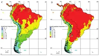
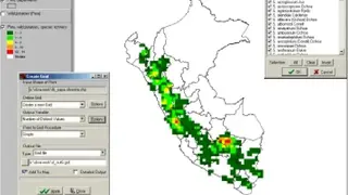
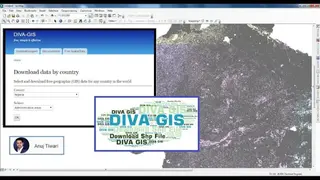
Diva GIS is a geographic data analysis and mapping program based on GIS. With the Diva GIS, you can make a geographic structure from a small area to a world map using state boundaries, rivers, a satellite image, and the locations of sites where an animal species was observed. It also provides free spatial data for the whole world that you can use in DIVA-GIS or other programs. You can use the program to analyze data like making raster maps of the distribution of biological diversity to find areas that have high, low, or complementary levels of diversity. Additionally, you can also map and query climate data. The Diva GIS can also predict species distributions using the BIOCLIM or DOMAIN models.
DIVA-GIS is particularly useful for mapping and analyzing biodiversity data, such as the distribution of species or other point distributions. It reads and writes standard data formats such as ESRI shapefiles, so interoperability is not a problem. The program is available for Windows.