Whitebox GAT alternatives
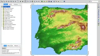
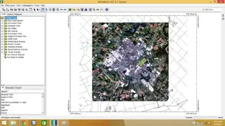
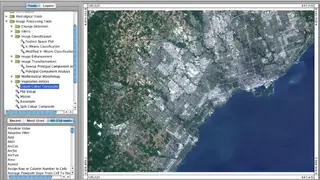
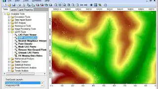
Whitebox GAT is an open-source, cross-platform GIS-based software package that is intended for advanced geospatial analysis and data visualization in research and education. The package features a friendly GUI with help and documentation built into the dialog boxes for each of the more than 410 analysis tools. You can also access extensive offline and online help resources. Whitebox GAT contains more than 385 tools to perform spatial analysis on raster data sets. Some GIS tools include distance operations, buffer, weighted overlays, area analysis, multi-criteria evaluation, and clumping. Image processing tools include k-means classification, numerous spatial filters, image mosaicing, NDVI, resampling, and contrast enhancement.
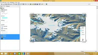
The software also has a bunch of Terrain analysis tools, including surface derivatives of the slope, aspect, and curvatures, hill shading, wetness index, relative stream power index, relative landscape position indices, and much more. All in all, Whitebox GAT is an advanced software for all your GIS projects.