GRASS GIS alternatives
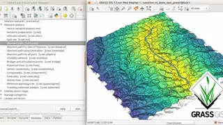
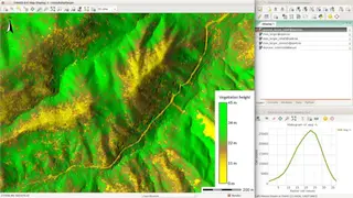
GRASS GIS, knows as Geographic Resources Analysis Support System, is open-source software that is based on GIS technology. It is built for vector and raster geospatial data management, spatial modeling, visualization, and geoprocessing. It runs on macOS, Windows, and Linux OS with both GUI and CLI for automation and production. GRASS GIS includes more than 500 modules to render and process the geographic data. It has a bunch of manipulating options and a variety of 3D, vector, and raster formats for running simply too advanced spatial analysis. You can connect it to spatial databases and a bunch of 3rd party libraries.
It supports most of the common GIS file formats with the GDAL-OGR library. The raster analysis can be done via map algebra, landscape analysis, interpolation masking, and the same goes for 3D raster graphics. Some other features include Point Cloud Analysis, LiDAR scanning, Interpolation of frames, Geo-coding, topology corrections & generalization, buffer, overlays, network analysis, aerial image processing, UAV satellite data, and much more.