ILWIS alternatives
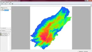
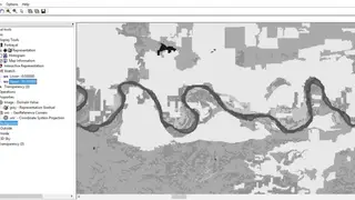
ILWIS, also known as the Integrated Land and Water Information System, is a remote sensing and GIS software that comes with a complete package of image processing, digital mapping, and spatial analysis tools. The software is easy to learn, even for beginners. Additionally, the website has a full range of extensive tutorials. With the integrated raster and vector design graphics, the ILWIS can produce photorealistic maps of plains, terrains, and cities. You can import or export the data in various formats.
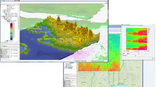
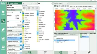
The on-screen and tablet mode allows for mode convenient touch base gesture use. ILWIS has a comprehensive set of image processing tools like image georeferencing, mosaicking, orthophoto, and transformation. Moreover, spatial data analysis and advanced modeling are also included. The 3D visualization with interactive editing UI is designed for optimal view finding. The rich projection system can render and scale distance up to hundreds of meters. Other features are Geostatistical analyses with Kriging for improved Interpolation, Production, and visualization of stereo image pairs, Spatial Multiple Criteria Evaluation, and hydrological processing.