QGIS 3 alternatives
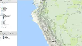
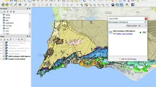
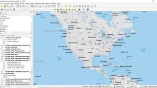
QGIS 3 is an open-source, cross-platform desktop geographic information 3D navigation system that supports viewing, editing, and analysis of geospatial data. QGIS can display multiple layers containing different sources or depictions of sources. It has a simulation of landscape areas in 3D, supports vector layers, raster layers, vector data support in the form of line, point, or polygon. QGIS 3 separates itself as a leader in cartography as it places practicality and usability above all.
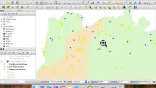
The previous versions lagged with some functions, but panning and zooming with large data from the Geo package is smooth on QGIS 3 with the fast cached labeling and redraw time. You can place the labels manually in case it is overlapping in automatic mode. QGIS 3 introduces some new tools that make your workflow smoother. The tools include tracing at offsets, tracking edits from multiple users, editing features that stick to topology, easier shapes with new CAD tools, add queries between numerical values. All in all, QGIS 3 is an advanced navigation tool that you can use as a professional user.