GeoDa alternatives
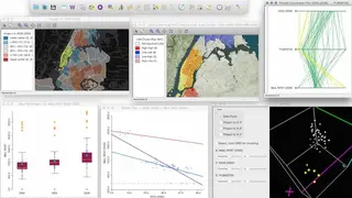
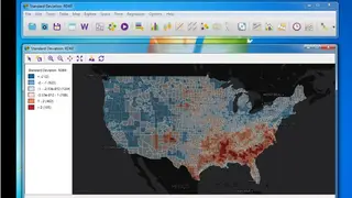
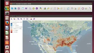
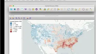
GeoDa is a GIS-based software that provides a user-friendly and graphical interface to methods of exploratory spatial data analysis to conduct visualization, spatial analysis, spatial modeling, and spatial auto-correction. It can also perform basic linear regression. As for spatial models, both the spatial lag model and the spatial error model are estimated by maximum likelihood. If you want to load high-volume data, GeoDa should be aggregated to areal units first. The program is available for Windows, Linux, and macOS.
GeoDa supports a larger variety of vector data in different formats. You can work with shapefiles, geodatabases, GeoJSON, MapInfo, GML, KML, and other vector data formats supported by the GDAL library. The program converts coordinates in table format to one of these spatial data formats and converts data between different file formats such as .csv to .dbf or shapefile to GeoJSON.