Garmin BaseCamp alternatives
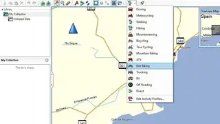
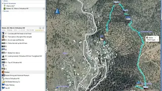
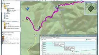
Garmin BaseCamp is a navigation map and Geographic Information System (GIS) software package primarily intended for use with Garmin GPS navigation devices. You can use this as a full features navigation application for planning your next biking, hiking, motorcycling, driving off, or road trip. It shows maps, plan routes, mark waypoints, and tracks to transfer them on any other device. A highlighting feature is the Track Draw feature that allows you to trace your planned route and see the elevation changes. This helps you determine the difficulty of a hike or bike ride.
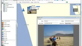
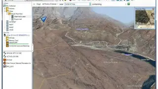
BaseCamp shows your topographic map information in 2-D or 3-D on your computer display with contour lines and elevation profiles. BaseCamp software allows you to geotag pictures, connecting them with exact waypoints. You can see the precise scenery at the location you want to go to. With BaseCamp and a BirdsEye Satellite Imagery feature, you can transfer an unlimited amount of satellite images to your device and seamlessly integrate those images into your maps to get a true representation of your surroundings. All in all, Garmin BaseCamp is an advanced navigation system that you can use for traveling and planning trips.