FalconView alternatives
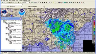
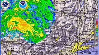
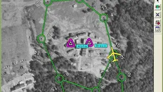
FalconView is an open-source software based on a geographical mapping system that is available for Windows, Linux, and mobile OS and is mostly used for combat and defense. It displays various types of maps and geographically referenced overlays. Many types of maps are supported, but the primary ones are aeronautical charts, satellite images, and elevation maps. FalconView also supports a large number of overlay types that can be displayed over any map background.
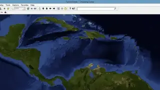
It supports a wide variety of data types like LiDAR, KMZ, and MrSID. You can also use it for viewing satellite and elevation data. For example, SkyView mode can perform fly-throughs and has the ability to open MDX files. It allows you to render features in 3D like LiDAR and elevation data. All in all, FalconView is an advanced tool that you can use for defense systems as well as for GIS.