gVSIG alternatives
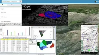
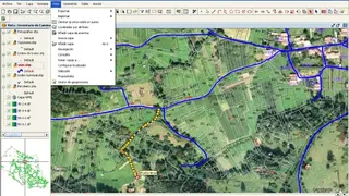
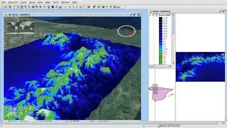
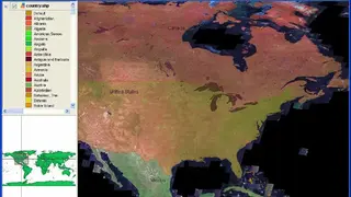
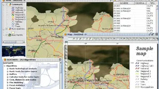
gVSIG is an open-source, powerful, and user-friendly interoperable geographic information system GIS that you can use anywhere in the world. The application is made in Java for Windows, macOS, and Linux that can be used for capturing, handling, storing, developing, and analyzing any kind of geographic information for solving complex management and planning problems. You can access vector and raster graphics directly from the interface. The software includes a wide variety of tools for working with geographic formation, including layout creation tools, query tools, networks, geoprocessing, etc.
The raster and remote sensing methods include statistics, filters, histogram, scale range, enhance, save to raster file, vectorization, Region of Interest (ROI) definition, general components, georeferencing, geo-location, supervised classification, band algebra, image profiles, decision tree, main components, tasseled cap, image fusion, scatter diagram, and mosaics.
You can integrate both databases and remote data in the same view through OGC standards. It also includes a plugin system to further extend the application’s functionality or to develop tailor-made solutions. Some other features include pan, zoom, locator, and selectable frame rate in UI; selection methods include point selection, rectangle, layer, polygon, polyline, circle, buffer zone, and inverted selection.